


Geospatial Solutions
Surveying and Mapping Equipment in Pakistan – Geospatial Solutions
Skyxotech provides Geospatial Solutions in Pakistan. We offer all kinds of Geospatial survey equipment from a few centimeters to several Square Kms. Geospatial Solutions are experts in data capture, analysis, and modeling techniques. We help clients across all sectors by providing accurate, precise geospatial solutions. We work closely with our clients to make informed decisions and apply the appropriate strategies.
Showing all 7 results
-
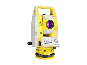
South NTS-332R10
- 2” Angle Accuracy
- Upgraded EDM
- Simple but practical onboard software
- Easy-to-read LCD screen
- Easy connectivity by USB and Bluetooth*
- 1000m non-prism range
-
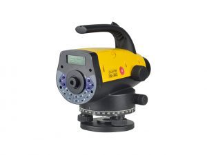
South DL-202
- Accuracy Height 1.5mm
- Measure and Record
- Trigger Key
- Two-Lines LCD Display with Illumination
- Easy-to-Use Onboard Program
- Industrial measurement.
-
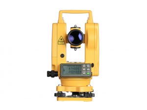
South ET Series
- Electronic/Laser Theodolite
- 2"/5" Accuracy in option
- Advanced EDM design
- Laser plummet and laser pointer
- Movable tribrach for ET-02F/05F
- Competitive performance
-
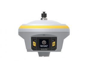
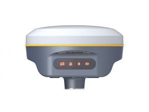
South INNO7
- 5G, brings you an outstanding future
- A highway to the era of big data
- Far Link Protocol
- 15 KM Just use the inbuilt radio only
- Touch Screen Interaction
- HD 1.54 inch color LCD touch screen
-
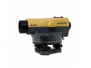
South NL-A32
- 32X Telescope
- Magnetic Damping Compensator
- Quick-Response for Levelling
- High cost performance yet durable
- Practical dustproof & waterproof capability
- Excellent shockproof function with patent
-
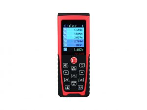
South PD-520N
- Measuring Range: 200m
- Camera Focus, Easier to Catch the Target
- Graphic Display with 2.2 Inch Color Screen
- CMOS Sensor
- M16 Connector for Tripod
- Lithium Rechargeable Battery
-
South Galaxy G2
- The extraordinary inbuilt radio
- Ultimate goals of full signals tracking
- Worry-free surveying
- The fact moving ahead into the future
- Measure whatever you want
- Smart reminder of base station attitude